Community Hub
Your one-stop access point for Big Sur community resources, meeting information, and important regional documents.
Latest News from CABS
Snapshot:
Community Meeting Calendar
Get Involved!
-

Sign up for Newsletter Notifications
-

Donate & Make an Impact
-

Contact Us at info@cabigsur.org
Get Informed!
Documents for Light Reading
Big Sur is guided by several key plans developed by local, state, and federal agencies — each addressing different challenges, from land use to tourism to highway safety. We’ve gathered them here so you can better understand the policies that shape our region and how community voices can help guide future decisions.

Big Sur Land Use Plan (BSLUP)
-
Often called the “gold standard” for coastal planning, this landmark plan guides how land in Big Sur can be used and developed. Created by Monterey County in collaboration with the Big Sur community and the California Coastal Commission, it’s the reason there are no billboards, neon signs, or chain restaurants along the coast. It protects scenic views, natural resources, and the rustic character that makes Big Sur so iconic.
-
This plan shapes what Big Sur looks and feels like — preserving its beauty, limiting overdevelopment, and protecting the coast for future generations. This key planning document is being updated and public participation is very important.
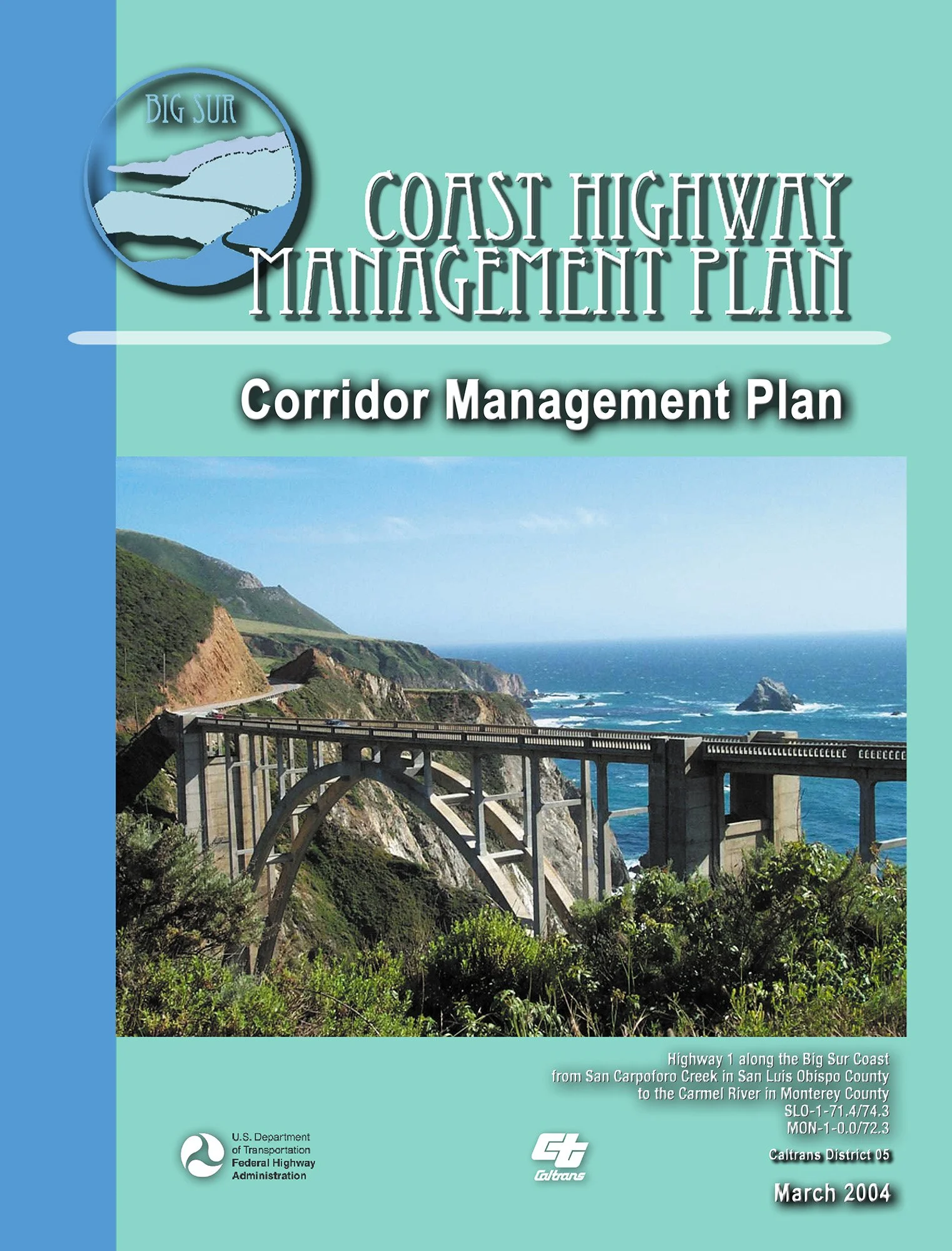
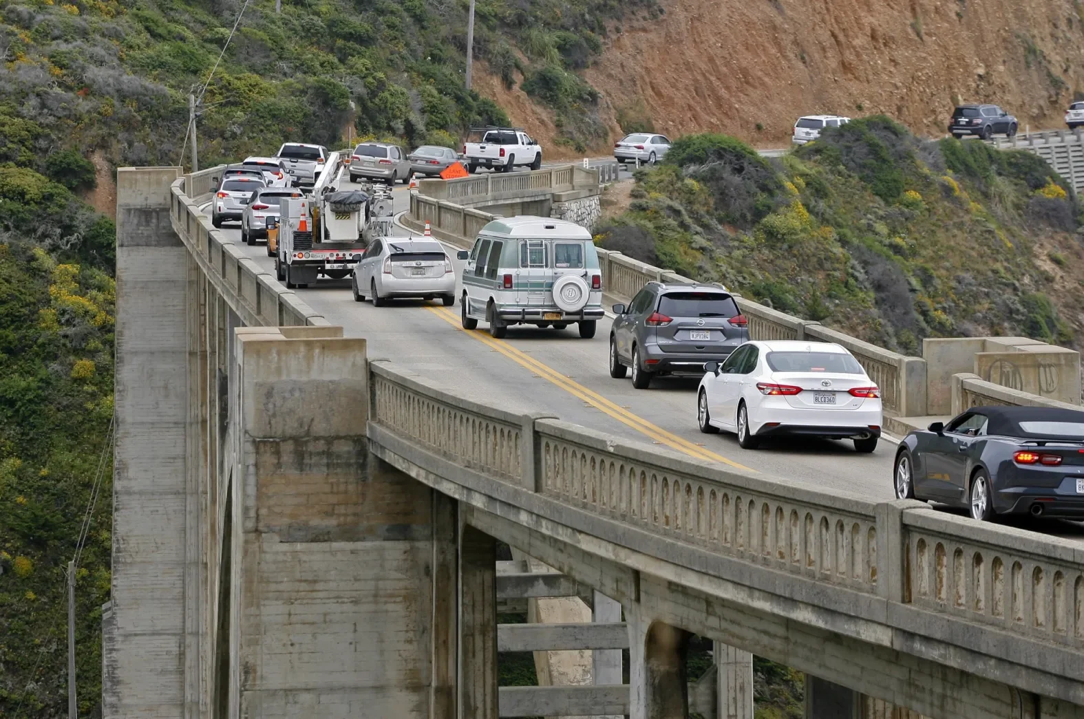
Coast Highway Management Plan (CHMP)
-
Developed by Caltrans and the Federal Highway Administration, this plan addresses how to keep Highway 1 open and safe while protecting the unique landscape. It looks at transportation challenges like landslides, erosion, and road closures.
-
The CHMP is Caltrans’ manual for how they operate in Big Sur. It outlines how they’ll work within our area’s unique requirements, including the Big Sur Land Use Plan. This plan is being updated and public participation is important.
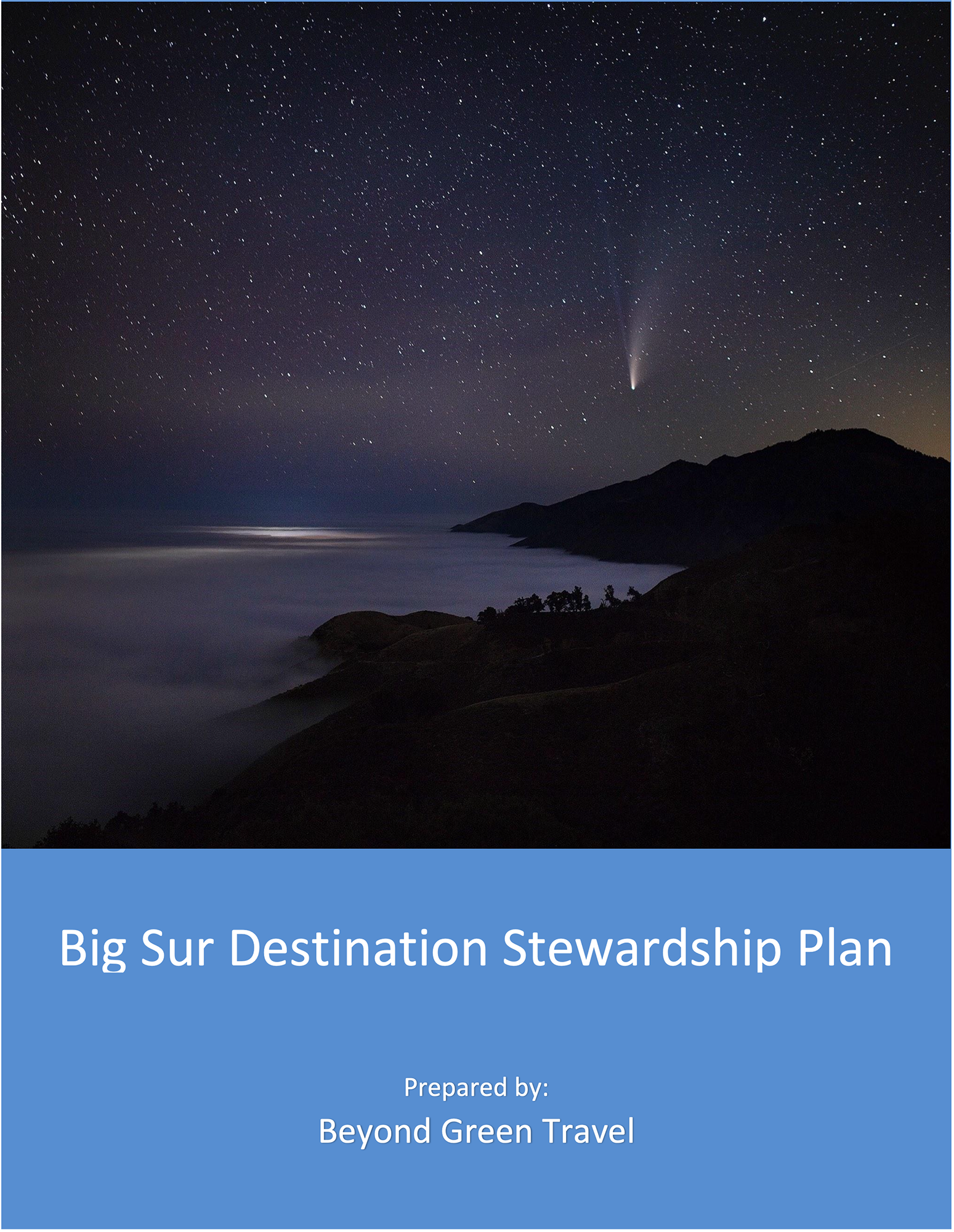
Big Sur Destination Stewardship Plan (DSP)
-
Created through a local, collaborative process led by CABS and the Big Sur community, this framework focuses on sustainable tourism. It outlines strategies for managing visitor impact while preserving the region’s natural and cultural heritage.
-
It aims to protect Big Sur’s quality of life and environment while guiding how tourism is managed to keep pace with the changing times. It is because of the DSP that CABS has forged a number of efforts to ensure the protection of this special place so many of us come to visit or call home.
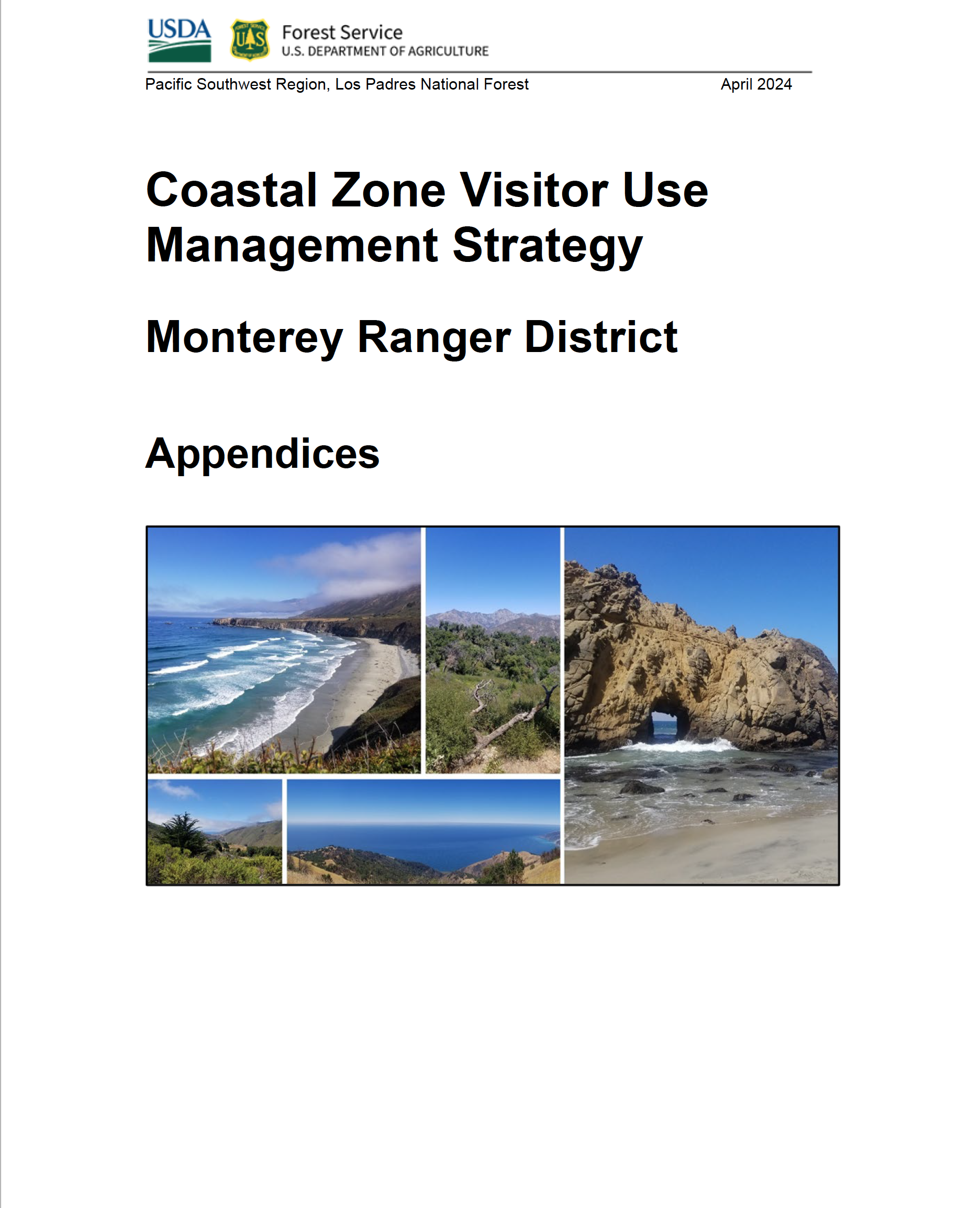
US Forest Service: Coastal Zone Visitor Use Management Strategy (VUM)
-
This strategy, developed by the U.S. Forest Service for the Monterey Ranger District, outlines how to manage visitor use on public lands in Big Sur’s coastal zone. It’s part of a national framework to support sustainable recreation while reducing environmental harm.
-
It affects access, recreation, and resource protection on federal lands many of us use and value.
Traffic Counter Data
CABS has installed Big Sur’s first-ever permanent traffic counter on Highway 1, providing real-time data on vehicle volumes for the first time in decades. This tool helps our community, planners, and visitors better understand traffic patterns and supports informed decision-making.
Community Partners
Big Sur’s resilience depends on collaboration. We’re proud to work alongside the agencies, businesses, and organizations that help make it all possible.